Our Services
Discover our comprehensive surveying solutions: from boundary determinations to ALTA surveys, construction staking, and beyond. Tailored to meet your project's needs with precision and expertise.
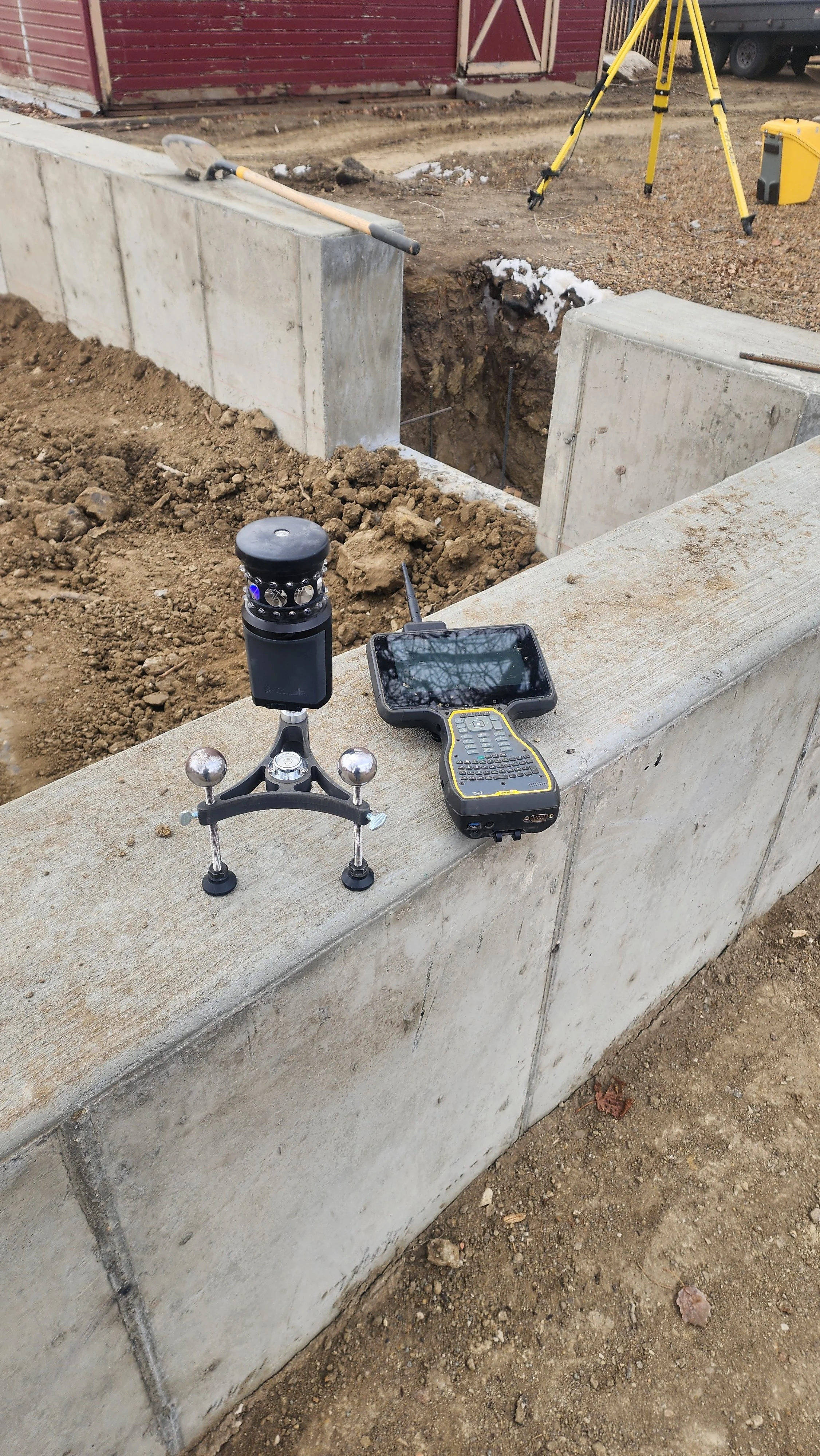
We utilize the latest and greatest technology to complete your projects. From land to sky, we take care of it all!
“It was so helpful to have someone knowledgeable in the whole process when we purchased additional acres to expand our yard. Nick guided us throughout, set pins, and had the plat exactly to our county’s specifications so we knew we wouldn’t have any issues at the recorders office. 10/10 would recommend!”


Boundary Surveys
Property Boundary Surveys
Legal Descriptions
Elevation Certificates (FEMA)
Planning
Subdivision Plats
Boundary Line Adjustments
Easement Surveys
Certificate of Surveys
Record of Surveys
Commercial Services
Control Surveys
ALTA Surveys
Tower Surveys
Topographic Surveys
As-built Surveys
Right-of-Way Surveys
Planning
Subdivision Surveys
Preliminary Design Surveys


Oil and Gas
As-Builts
Platting
Construction Staking
Monitoring
Permitting
Planning
Construction Services
From building corners and foundations to utilities and grades, we stake your project so the crew builds in the right place, at the right elevation, the first time.
Pre-engineering Surveys
We map your site’s elevations, contours, and existing features, giving engineers, architects, and builders accurate ground to design from.

